


Live and Simulcast Auction being offered in 7 Tracts. The properties are located near Newport, Nebraska. Consider any of these attractive offerings of irrigated pivots and loamy soils.
SALE PRICES PER ACRE
Tract 1 – For Sale – Please contact our office for more information.
Tract 2 – For Sale – Please contact our office for more information.
Tract 3 – $5,200
Tract 4 – $5,350
Tract 5 – $5,100
Tract 6 – For Sale – Please contact our office for more information.
Tract 7 – $55,000 for tract 7
Deeded Acres: 1,575.32 +/-
Property Location: Tract 1: From Bassett NE, 4 miles north on Hwy 7 then 3 miles east on 885th Road and ½ mile north on 450th Avenue to the subject property or from the junction of US Hwy 20 and 450th Avenue 6 ½ miles north to subject property. Tract 2: From Newport NE 6 ½ miles north on Hwy 137 then 1 mile west on 888th Road to the subject property. Tract 3: From Newport NE 5 ½ miles north on Hwy 137 then ½ mile west on 887th Rd to the subject property. Tract 4: From Newport NE 6 miles north on Hwy 137 to the subject property. Tract 5: From Newport, NE 6 ½ miles north on Hwy 137 then a ½ mile east on 888th Road to the subject property. Tract 6: From Newport, NE 7 miles north on Hwy 137 to subject property lying on the east side of the Hwy. Tract 7: From Newport, NE 5 miles East on US Hwy 20 to 463rd Avenue then 7 miles north to the subject property.
Legal Description:
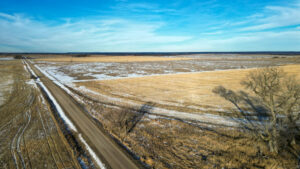
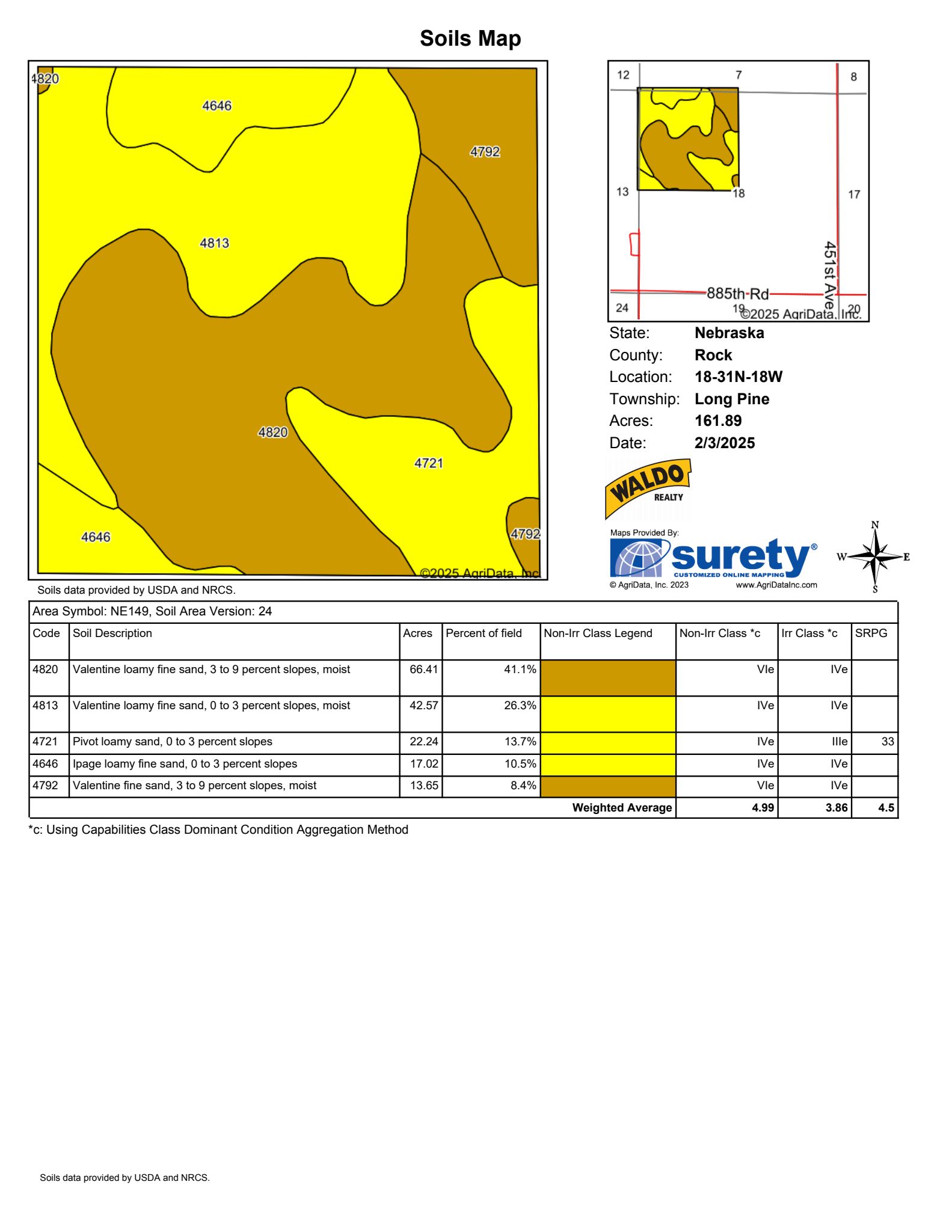
Tract 1: 160 +/- acres NW ¼ Section 18, Township 31N, Range 18 West of the 6th P.M., Rock County, NE.
Tract 2: 160 +/- acres SE ¼ Section 31, Township 32N, Range 17 West of the 6th P.M. Rock County, NE.
Tract 3: 160 +/- acres SW ¼ Section 5, Township 31N, Range 17 West of the 6th P.M., Rock County, NE.
Tract 4: 156 +/- acres NE ¼ Less Hwy ROW of Section 5, Township 31N, Range 17 West of the 6th P.M., Rock County, NE.
Tract 5: 160 +/- acres NE ¼ of Section 4, Township 31N, Range 17 West of the 6th P.M., Rock County, NE.
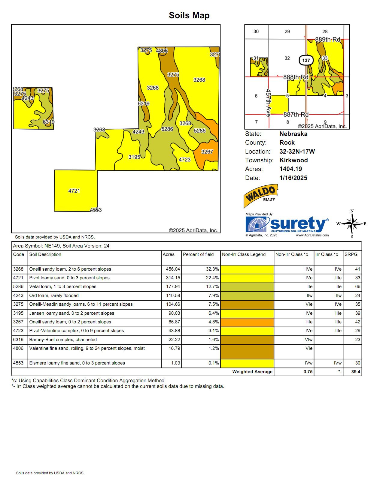
Tract 6: 776.32 +/- acres All of Section 33, Less Hwy ROW Township 32N, Range 17; Part of the NW ¼ of Section 4, Township 31N, Range 17 all West of the 6th P.M., Rock County, NE.
Tract 7: 3 +/- acres Pt. of the SE ¼ Section 18, Township 31N, Range 16 West of the 6th P.M., Holt County, NE.
Tract 1: From Bassett NE, 4 miles north on Hwy 7 then 3 miles east on 885th Road and ½ mile north on 450th Avenue to the subject property or from the junction of US Hwy 20 and 450th Avenue 6 ½ miles north to subject property.
Tract 2: Tract 2 offers 0-2% slope with the heaviest loamy soils in this offering. Accessed by a county-maintained road.
Tract 3: Tract 3 lies with 0-2% slope with Pivot loamy soils with access by a county road. May be the most attractive of all units.
Tract 4: Tract 4 has Hwy 137 frontage and lies flat with good loamy sand soils.
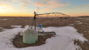
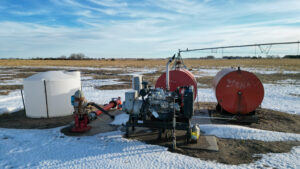
Tract 5: Tract 5 lies nicely with 0-2% slope with Vetal loam and oneill sand loam soils. Good access by county road. The diesel power unit is equipped with a natural gas sniffer component. If sold separately, it shall be disconnected at Buyer’s expense.
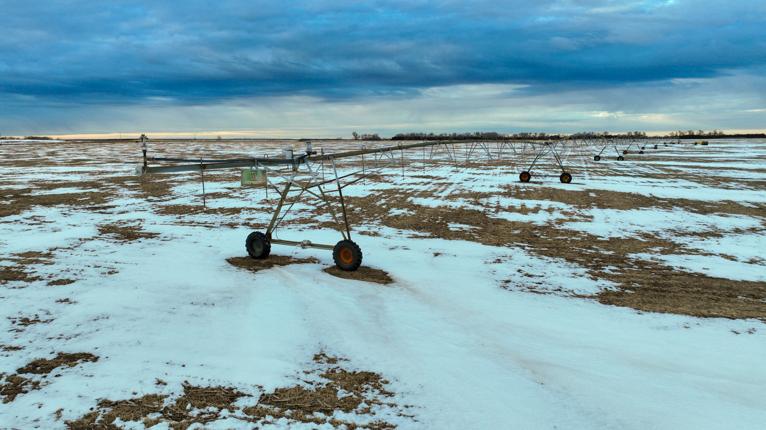
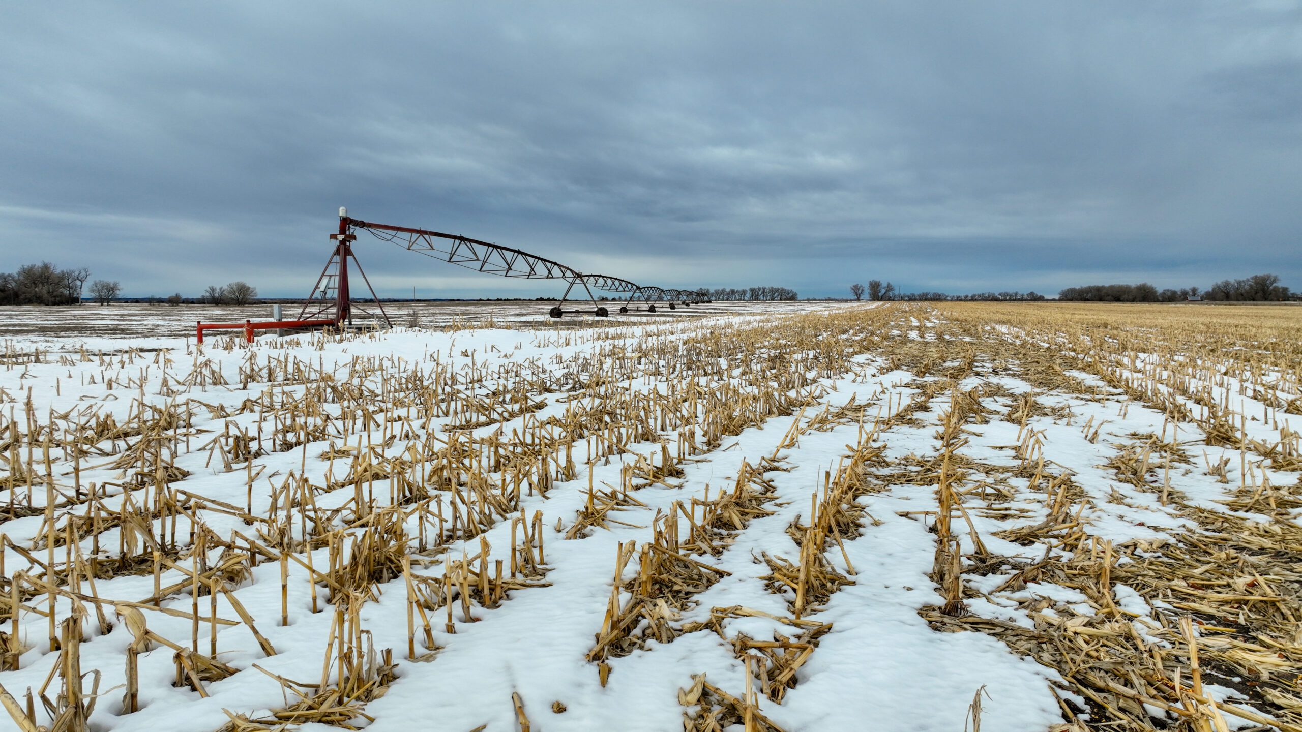
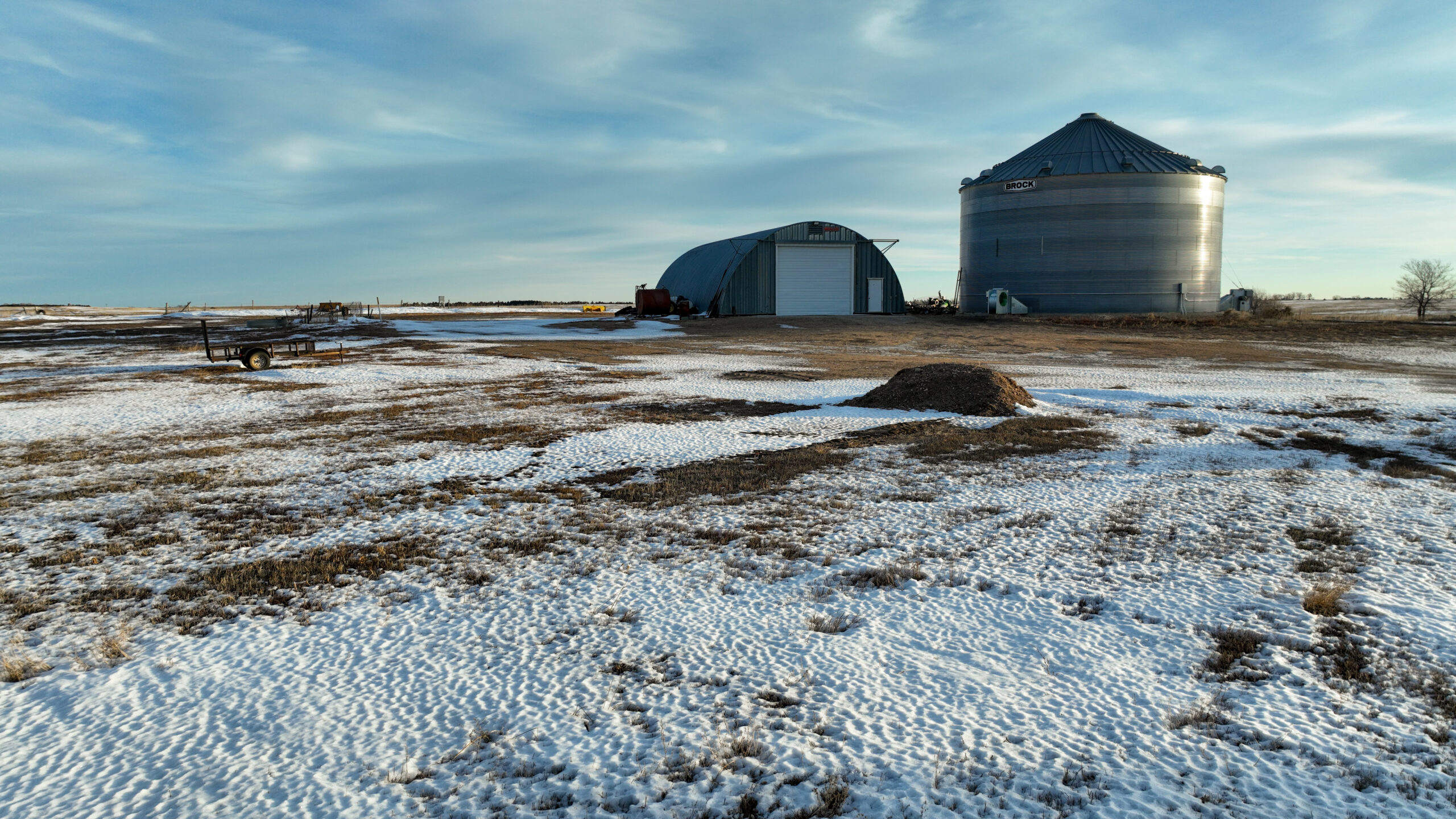
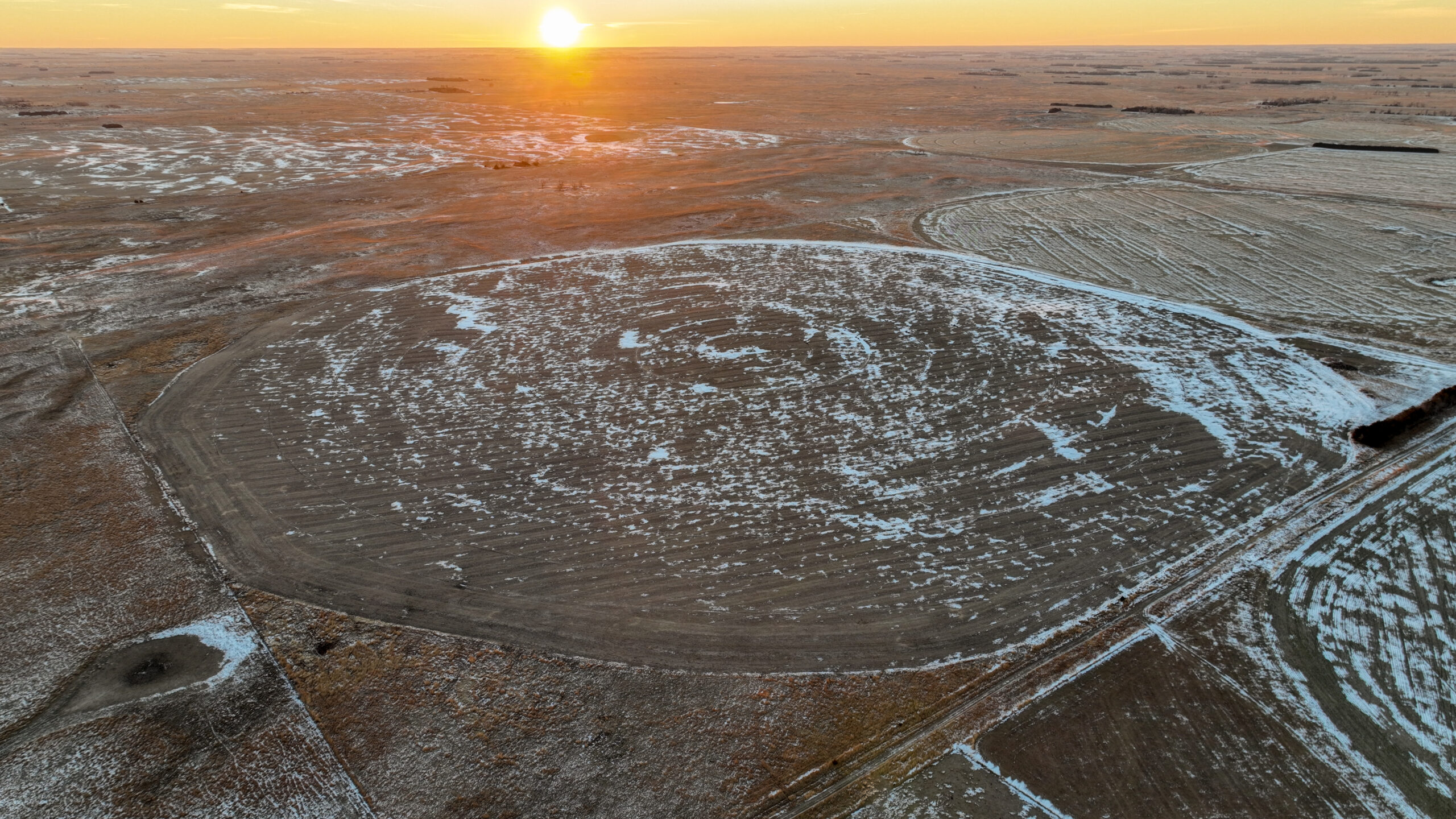
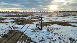
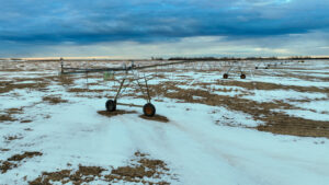
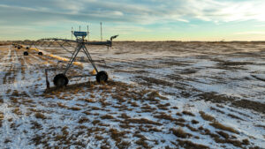
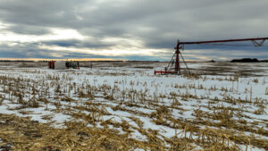
Tract 6: Tract 6 is a unique offering with 2-pivots, one being a 17-tower pivot located on Section 33 and the other being a 7- tower pivot on the NW ¼ of Section 4. Prospective Buyers should design their own irrigation methods to capitalize on the Loamy sand soils. A shop and grain storage are included near the county-maintained road.
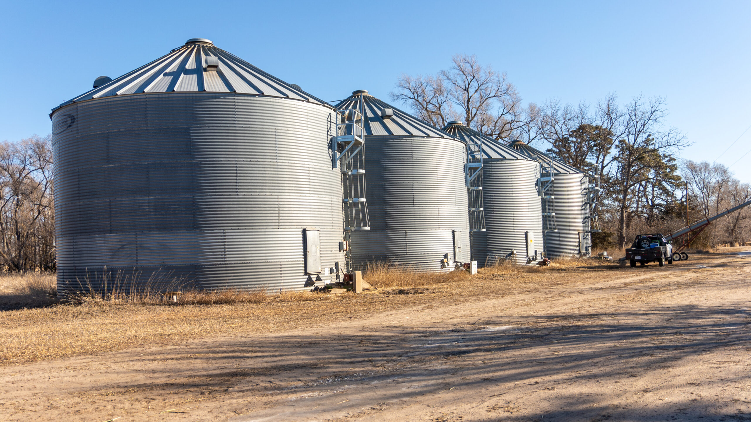
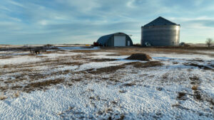
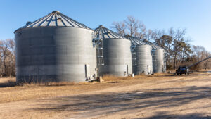
Tract 7: This tract offers 4 – 18,000-bushel grain bins located off a county-maintained road.
Tract 1: NRD Certified Acres 129.11
130.84 Cropland Acres
129.08 Corn Base Acres PLC Yield: 157Bu.
Tract 2: NRD Certified Acres 122.54
137.72 Cropland Acres
17.51 Corn Base Acres PLC Yield: 161 Bu.
Tract 3: NRD Certified Acres 132.55
132.03 Cropland Acres
127.64 Corn Base Acres PLC Yield: 157 Bu.
*Subject to FSA Re-Con
Tract 4: NRD Certified Acres 120.38
125.03 Cropland Acres
127.64 Corn Base Acres PLC Yield: 157 Bu.
*Subject to FSA Re-Con
Tract 5: NRD Certified Acres 134.26
135.36 Cropland Acres
Approximately 114.75 Corn Base Acres PLC Yield: 157 Bu.
Tract 6: NRD Certified Acres 605.94
614.49 Cropland Acres
Approximately 593.97 Corn Base Acres PLC Yield 157 Bu.
Real Estate Taxes: Tract 1: $3,642.62/Tract 2: $2,800.96/Tract 3:Approximately $3,902.84 (To be reassessed)/Tract 4: Approximately $3,902.84 (Subject to Re-Assessment)/ Tract 5: Approximately $3,800 (Subject to Re-Assessment)/ Tract 6: Approximately $6,895.96 ( Subject to Re-Assessment)/Tract 7: $108.28
Preliminary purchase agreement available upon request.
The above information obtained from sources deemed reliable. Waldo Realty is not responsible for errors or omissions.
Related Listings
 $2,650,000
Holt County, Nebraska Irrigated Farm for Sale
Irrigated Farmland Pasture/Ranchland
Nebraska Irrigated Farm for Sale with Cattle Backgrounding
The 477.74± acre irrigated farm for sale located in Holt County, NE offers a well-balanced combination of irrigated cropland and a fully improved feedlot, making it an ideal turnkey livestock operation. Featuring two irrigation pivots, multiple wells, grain storage, working corrals, and a well-maintained ranch-style home, the property is equipped to support efficient forage production and cattle backgrounding. With strong soils, established shelterbelts, and excellent infrastructure, this offering provides both immediate functionality and long-term agricultural value.
")
